Geographic Information Systems
Geographic Information Systems
Geographic Information Systems (GIS) are computer-based tools used to store, visualize, analyze, and interpret geographic data. Geographic data (also called spatial, or geospatial data) identifies the geographic location of features. GIS combines the visual elements and features on a map with the ability to link characteristics about these features in databases. This relationship provides a means for GIS to locate, display, analyze, and model information.
Our GIS program offers math and science for transfer (AA-T or AS-T) degrees, math and science associate's degrees and certificates.
Back to Program Finder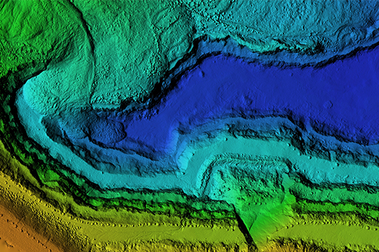

Our Academic Counseling and Career Development Center is here to help you find the right job for you. We offer a variety of services to help.
Learn More
The faculty at Norco College are dedicated to helping you succeed. Learn more about our faculty and staff.
Learn More
Get involved in student life at Norco College. We offer a variety of clubs and organizations to help you get connected.
Learn MoreCareer Decision Making
Deciding on a career is one of the biggest decisions you'll ever make and we're here to help! The Norco College Academic Counseling and Career Development Center provides a variety of resources to guide and direct you through a proven career development process, and we encourage all students to schedule some time to meet with a counselor for help with this important decision.
Connect with a CounselorCareer options for students who get a degree in GIS include: GIS technician, cartographer, CAD drafter, land survey technician, GIS analyst, geodesist, geographer, remote sensing analyst, senior CAD designer, GIS software engineer, survey manager, GIS project manager, and many more options! Check out the local career data on this page and schedule a career counseling appointment today!
Learn MoreOur faculty are dedicated to helping you succeed. Learn more about our faculty and staff.